Karnataka State Remote Sensing Applications Centre
Department of Personnel and Administrative Reforms (e-Governance), Government of Karnataka
Department of Personnel and Administrative Reforms (e-Governance), Government of Karnataka
Department of Personnel and Administrative Reforms (e-Governance), Government of Karnataka
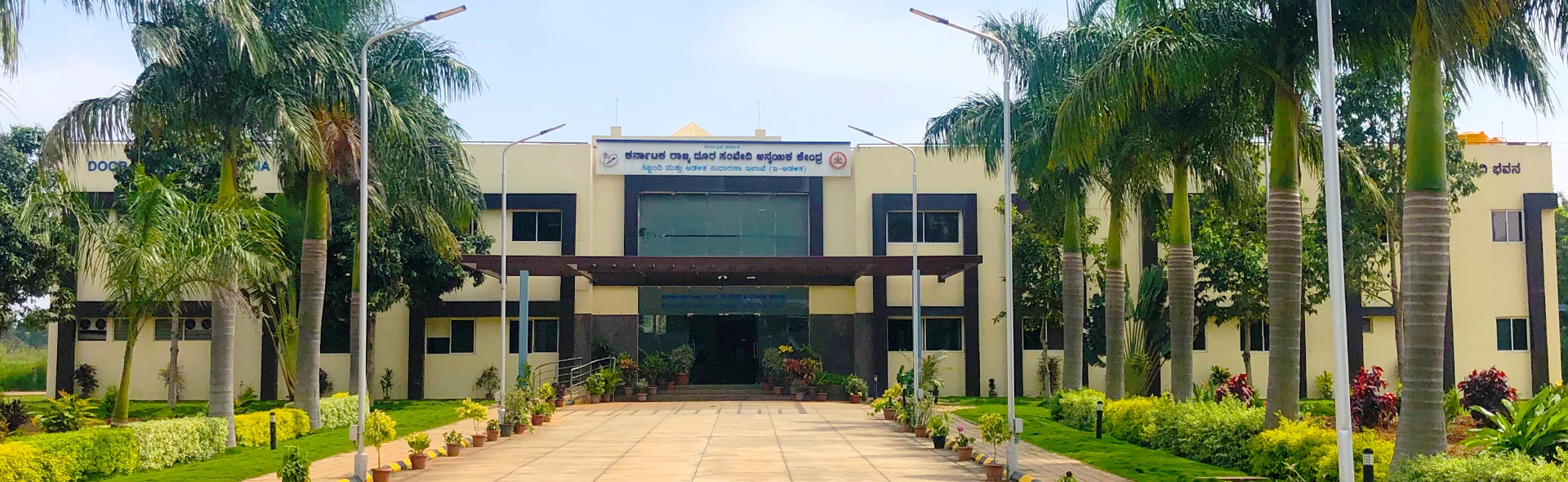
The Head Office of KSRSAC is located in a space of about 16000 sq. ft. at Doora Samvedi Bhavana in GKVK Campus, near Horticulture College with a seating capacity for about 300 technical staff. Besides, a number of project personnel working under various projects are accommodated at Shanthinagar , BMTC. The KSRSAC has three regional centers. The regional centre of KSRSAC at Kalaburagi with a built up area of about 5600 sq. ft. built by the Hyderabad Karnataka Development Board was inaugurated in September 2009 by the honourable Chief Minister of Karnataka. The Regional centre at Bagalkot is located at ZP office which was inaugurated in April 2015 by Shri. S. R. Patil, the honourable Minister for IT, BT and S & T and Planning and Statistics Govt. of Karnataka. The Mysuru Regional Centre has been established during the year 2004 to implement the LRIS project for Mysuru District and LRD, CRD projects under Natural Resources Information System and there is housed in the campus of SJCE.
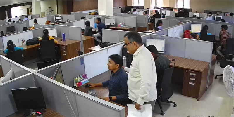
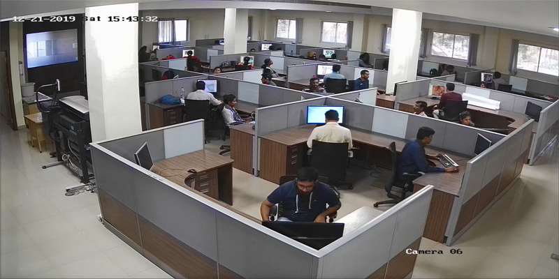
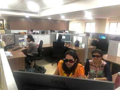
The state-of-the-art Geoinformatics Laboratories are set-up at the headquarters and regional centres at Mysore,Gulbarga and Bagalkote by KSRSAC. These labs have high-end computer systems and proprietary GIS software such as ArcMap 10.8.1, ArcGIS Server 10.8.1, AutoCAD 2024 and also Digital Image Processing (DIP) software like ERDAS Imagine 2022 and Leica Photogrammetric suite
The KSRSAC has a database of the satellite images (available at KSRSAC) and other themes including natural resources. Recently, this database has been made available to users through K-GSI Portal services.
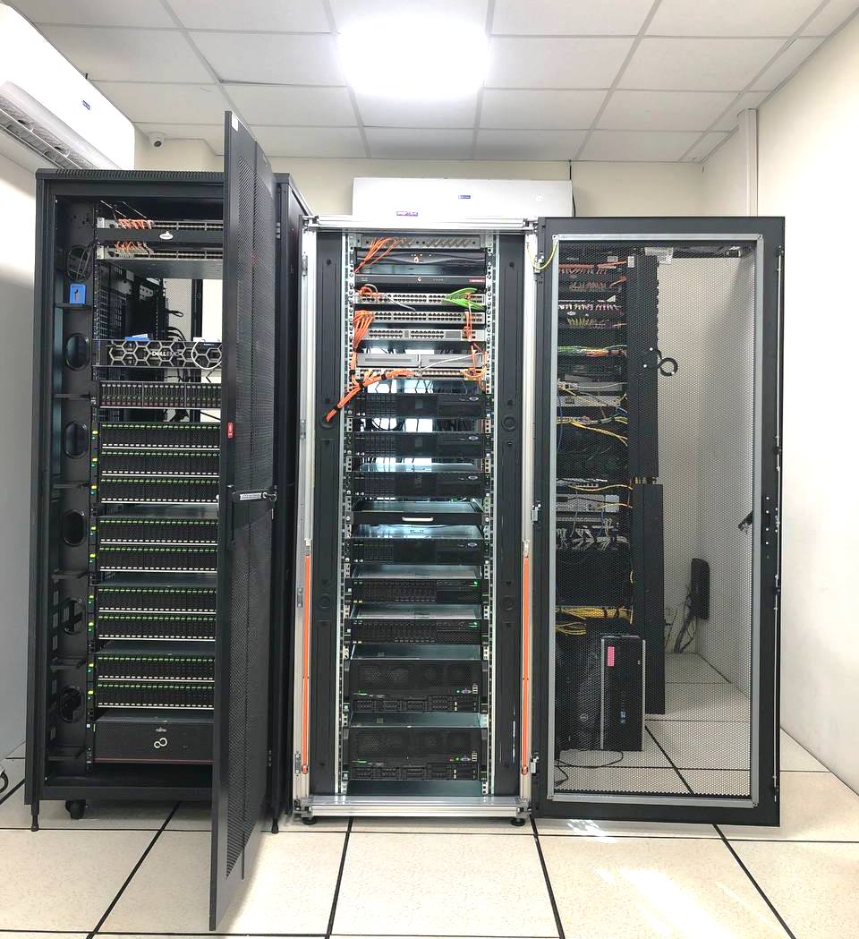
The data center has 10 high-end servers and 400 TB storage device to store the data generated in K-GIS and other projects. Dedicated network from datacenter to K-GIS development center and K-SWAN network is established.
KSRSAC is the only organization to have obtained the clearance from Ministry of Defense to undertake large scale urban mapping using stereo pair of aerial photographs as well as satellite imageries. The Centre has the latest version of ERDAS Leica Photogrammetry Suite, Bently Microstation and sufficient state-of-the-art hardware. Karwar town mapping has been done at our Centre using aerial photographs. CartoDEM has been prepared and orthorectification of CARTOSAT and LISS IV satellite imageries have been completed for entire Karnataka.
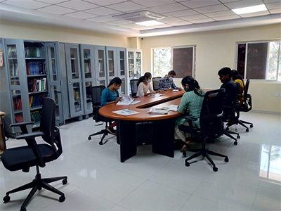
KSRSAC library has a collection of literature on Remote Sensing, Geographic Information System (GIS), Global Positioning System (GPS), Photogrammetry, Digital Image Processing, Natural Resource Management, Environmental Management, Statistical Concepts, Database Management System, Computational Intelligence, Large Scale Mapping and Facility Management, Geology and Coastal Zone Management under departmental library and M. Tech library. The overall collection of books and reference materials viz., reports, reprints, encyclopedia is over 1000. The staff of KSRSAC and the PG students have been provided with internet facility to facilitate e-learning. That apart, xeroxing and printing facility are accessible to the staff members.